Start An Epic Pub Crawl With This Map of Every Pub In The UK
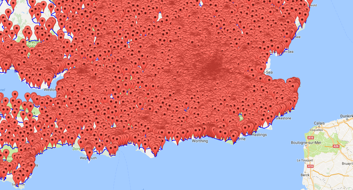
Photo: University of Waterloo
If you ever wanted to go on the most epic UK pub crawl in history, it just got a whole lot easier to find everything.
The University of Waterloo’s Math Department created a map of nearly every single pub in the United Kingdom utilizing Google. According to The Poke, 12 or more pubs are missing from this map, but the results are still incredibly impressive to take a look at.
In total, the Math Department identified 24,727 different pubs across England and Scotland, and marked all of them on this interactive, Google-powered map. To estimate how that measures in terms of pub coverage, the total area of the United Kingdom is approximately 94,000 square miles — meaning that there is 1 pub for at least every 4 square miles apart.
As a comparison, the United States has 624,301 total restaurants (including pubs) over approximately 3.8 million square miles — or 1 restaurant every 6 square miles apart. That’s some serious coverage by UK pubs.
Looking at the above zoomed-out map (which takes about 10 minutes to load and zoom out because of how massive the data in this map is), all you can really see is a literal sea of red markers. It’s impossible to get a measure of coverage.

Photo: The Poke
However, zooming in reveals that the highest concentration of pubs lies in Southern England, with London having the most pubs in that are respectively. It’s still impossible to tell exact coverage in the London area because of how crowded the pub map is.

Photo: University of Waterloo
This zoomed-in view of just one small area of London shows how many pubs exist — basically a couple per city block, at the very minimum. You could easily construct a legendary pub crawl from this map, wherever you may be in the UK.
If you’re up for the challenge, use the map, head to a spot in the UK, and begin your epic pub crawl. Best of luck.


